MONTEREY COUNTY – SOME NOTES ON GEOGRAPHY AND HABITATS
Monterey County covers some 3,324 square miles of extraordinarily varied geography, geology and climate.
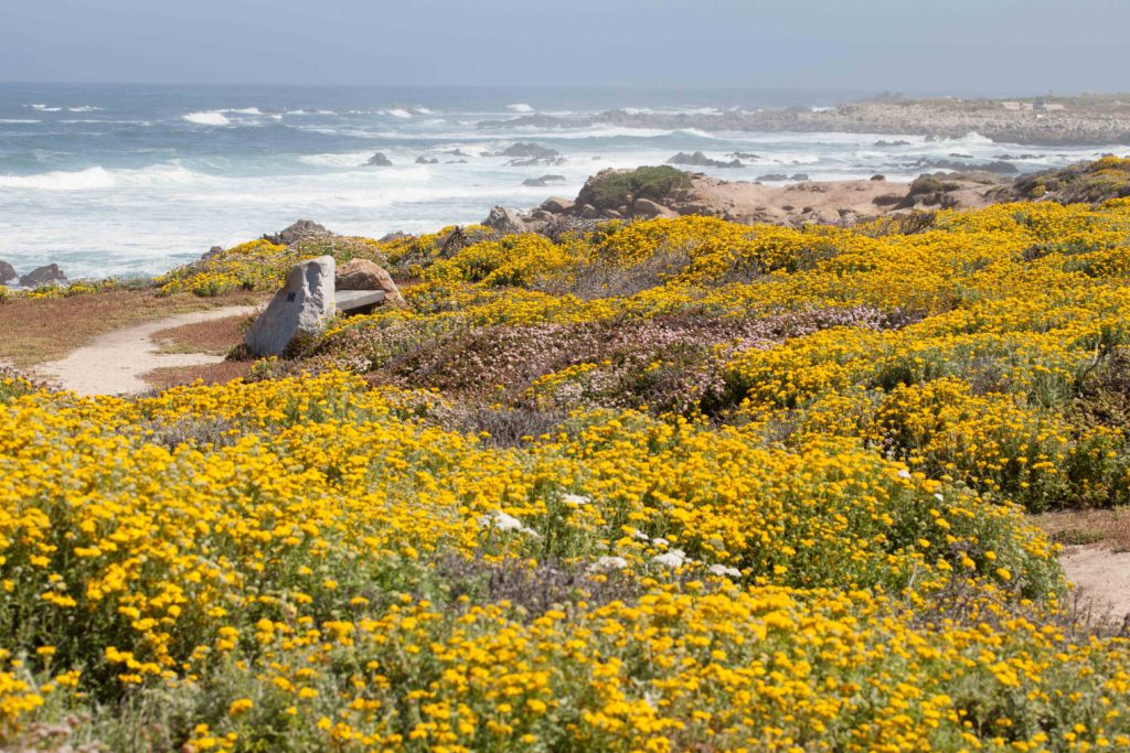
The coastal area includes the dunes and coastal scrub of Monterey Bay, and the dramatic cliffs and coastal bluffs of Big Sur. These front the Pacific Ocean, from just south of Carmel to the county’s southern border.
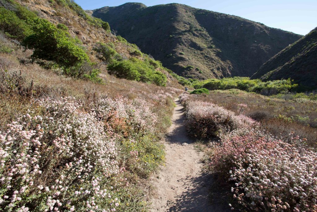
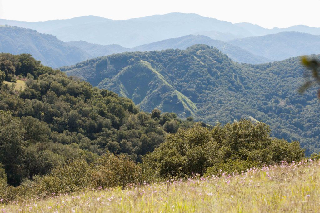
Much of the county is mountainous. The Coast Ranges in Monterey comprise the Outer and Inner Coast Ranges, divided by the Salinas Valley. The Salinas River runs from the southern boundary of the county (near Bradley) to the mouth of the Salinas River (between Marina and Castroville). Highway 101 follows the course of the Salinas Valley as far north as Salinas.
- The Outer Coast Ranges comprise the Santa Lucia Mountains, which lie to the south and west of the Salinas Valley. The Sierra de Salinas (Mount Toro and the rest of the clearly defined range lying to the north and east of Carmel Valley Road) are part of the Santa Lucia Mountains.
- The Inner Coast Ranges include the Gabilans and part of the Diablo Range; these lie east of the Salinas Valley. The Gabilan Range runs west of the San Andreas fault from the Pajaro River in the north to near King City in the south and includes the Pinnacles National Park. The Diablo Range runs east of the San Andreas fault and extends from the San Francisco Bay area in the north to near the San Luis Obispo County line in the south.
A number of rivers arise in the Santa Lucia Mountains. The Carmel and Big Sur Rivers drain directly into the Pacific Ocean. Others, including the Arroyo Seco, San Antonio, and Nacimiento Rivers, drain into the Salinas River.
The notes below are just an introduction to the fascinating topic of plant communities and their relationship to geography, geology and climate. For more on this, see Introduction to California Plant Life by Ornduff, Faber and Keeler-Wolf. Here are some of the different plant communities in our county.
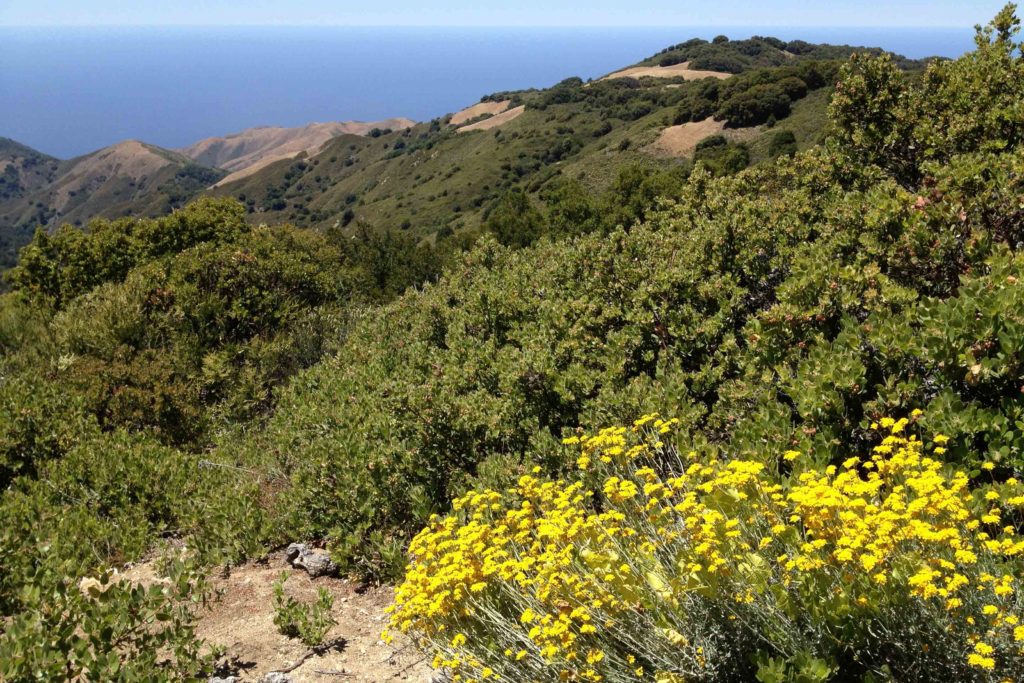
COASTAL
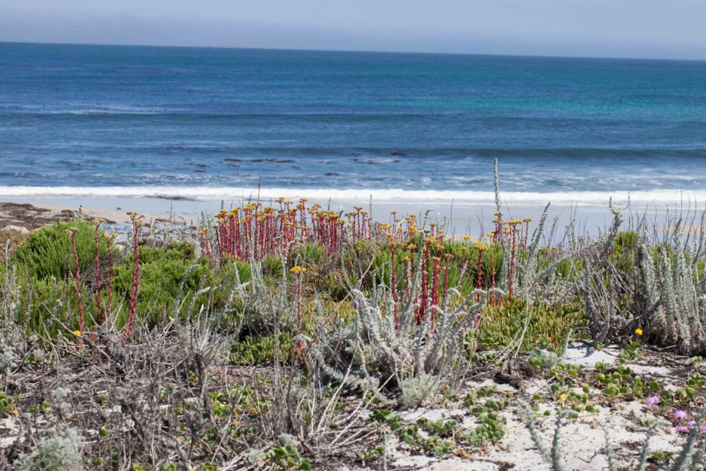
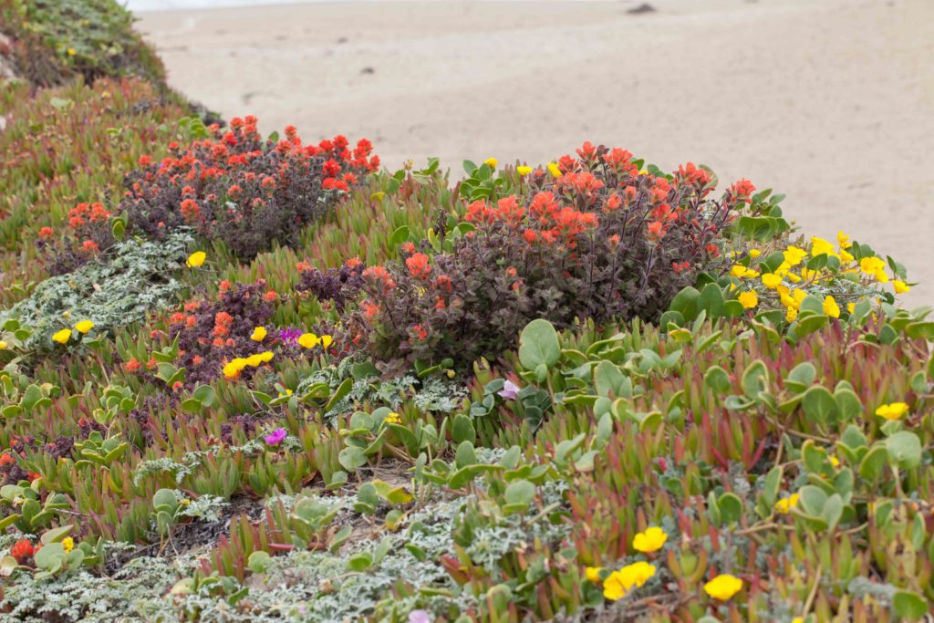
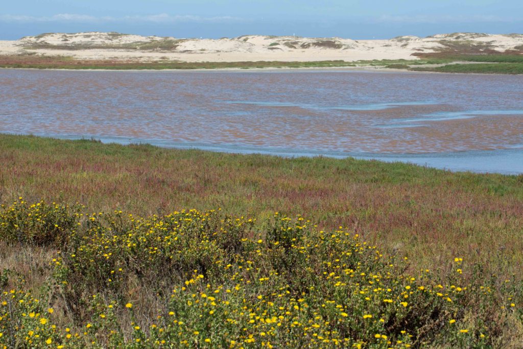
The coastal area includes dunes and coastal scrub, both of which have sandy soil. Moving inland, there is coastal salt marsh (brackish or saline water) and coastal prairie (affected by salt and fog). Many of the plants that thrive in these often harsh conditions are not found away from the coast.
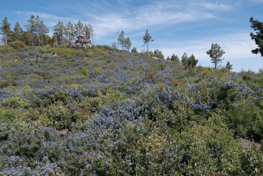
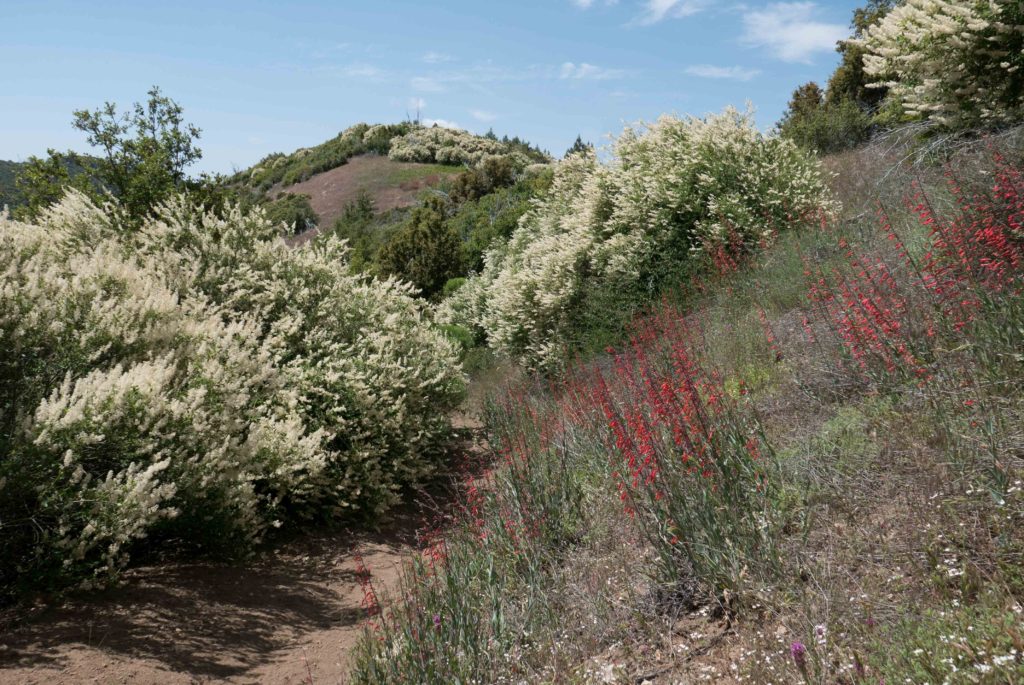
CHAPARRAL
This is one of the more common habitats in California. Chaparral plants have stiff, hard, evergreen leaves (such as Manzanita), a high tolerance for drought conditions, and the ability to regenerate after wildfires. Herbaceous (non-woody) plants are uncommon in chaparral, because of competition from their larger, tougher neighbours and because of the allelopathy exhibited by some of the chaparral shrubs (Chamise). Allelopathy is when a plant releases a toxin into the soil, that inhibits the growth of other plants. You may have seen one of the extraordinary post-fire blooms sometimes found in chaparral areas. This is due to the destruction of shrubby competitors, but also to the heat that vaporizes the allelopathic toxins. This allows the herbaceous plants to flourish, until such time as the shrubs regenerate, and once again release the toxins and reestablish their dominance.
WETLAND
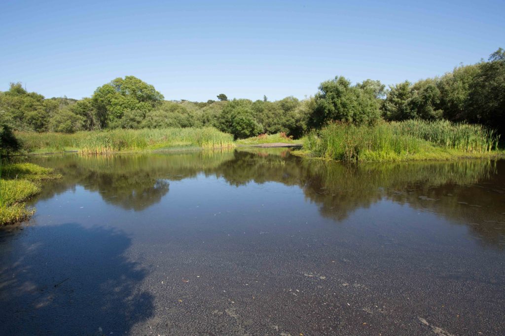
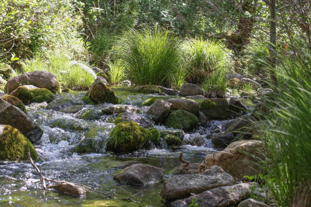
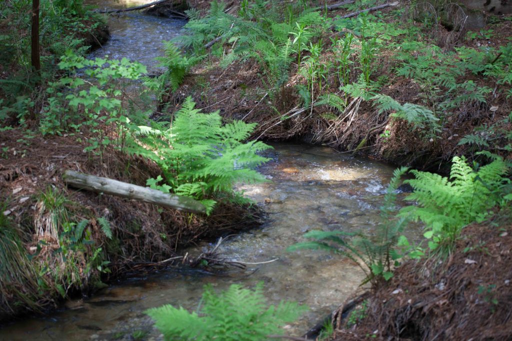
There are several types of wetlands. Coastal marshes are somewhat salty, and most plants can’t tolerate that. Freshwater marshes, rivers and streams are home to aquatic plants, and to plants which can tolerate wet soil. Riparian trees (such as alders and willows) require moist soils, and will suffer or die if that access is cut off. Vernal pools fill during the winter, and dry out during the summer. A number of plants (reeds, rushes and sedges) are found in the drying or dry mud of such pools.
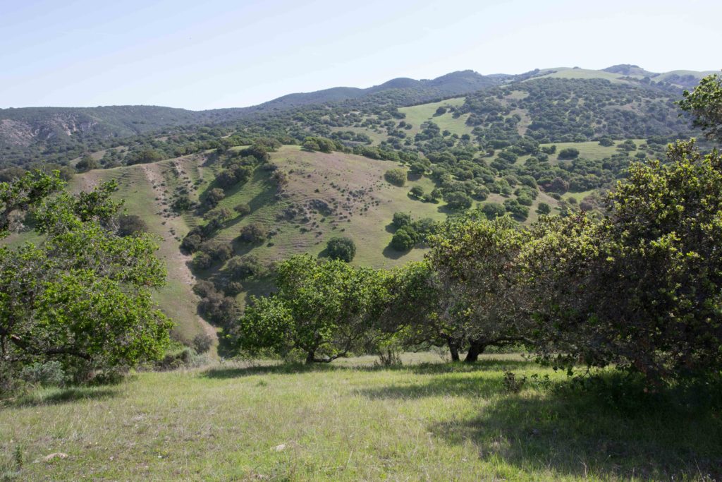
VALLEY GRASSLAND
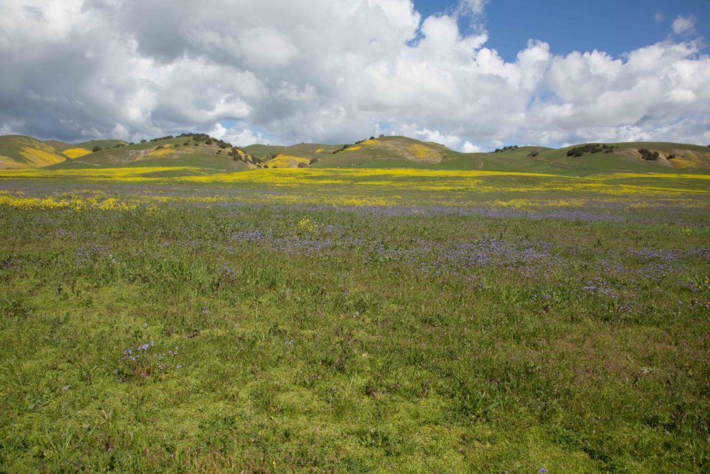
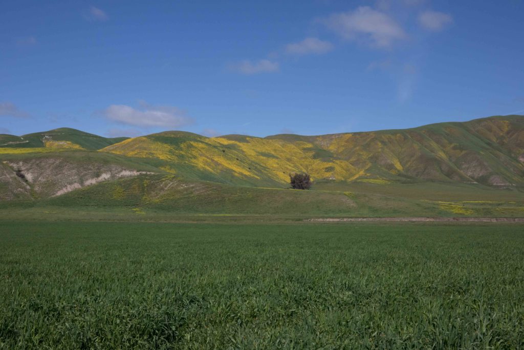
This once occupied great swathes of the Central Valley, but has been much reduced by conversion to agriculture. Valley grassland is found in some of the lower valleys and gentler slopes of the Coast Ranges. Once characterized by perennial native grasses, these have now been almost completely occupied by introduced annual grasses. This leads to dried-out summer conditions, and high fire danger. In some places unaffected by intensive farming, valley grassland feature spectacular springtime displays of wildflowers.
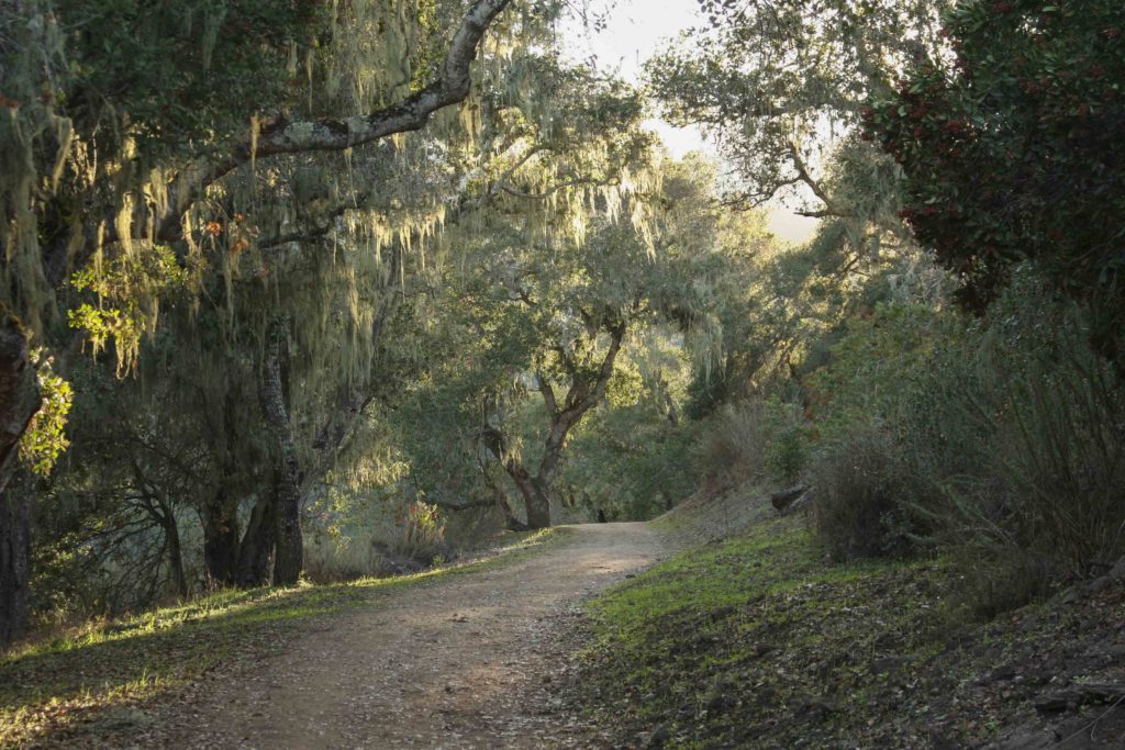
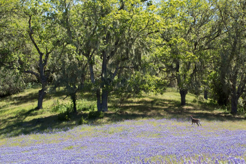
VALLEY & FOOTHILL WOODLAND
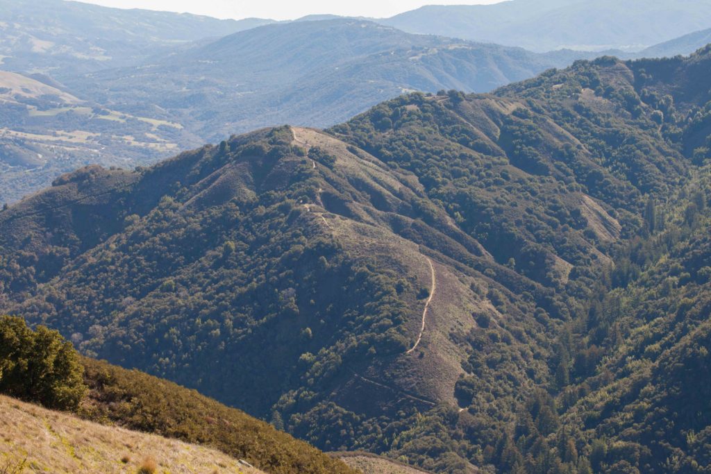
This is one of the most common habitats in the Monterey Peninsula and Outer Coast Ranges, and is often dominated by Coast Live Oak. Other oaks are also found, as well as pines, maples, sycamore and bay laurel. Valley and foothill woodlands often have a rich understory of shrubs and herbaceous plants, as well as poison oak. Ridges that run east-west often have woodland on the north side (shadier, cooler and wetter), and chaparral on the south side (sunnier, warmer and drier). This is often visible when looking down on a ridge from above.
CONIFER WOODLAND
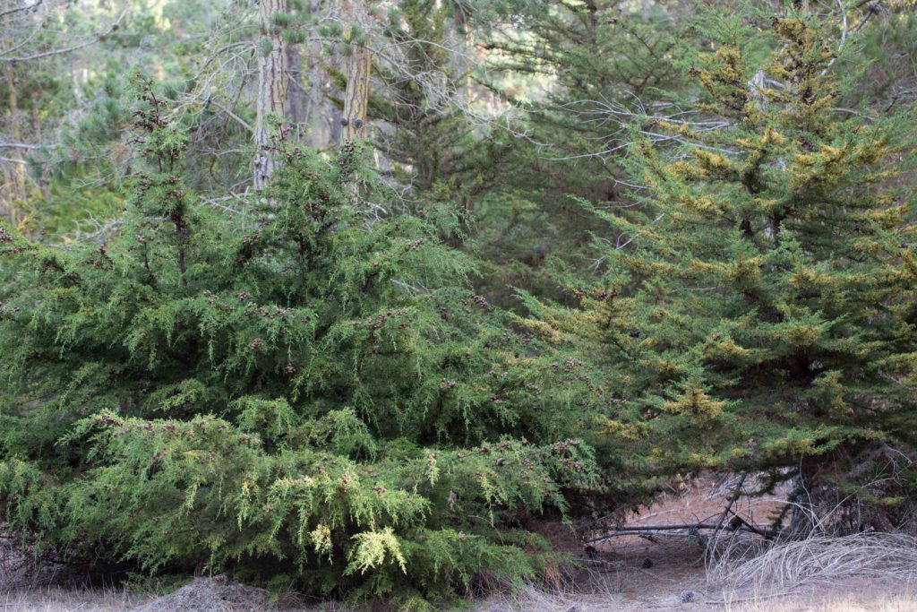
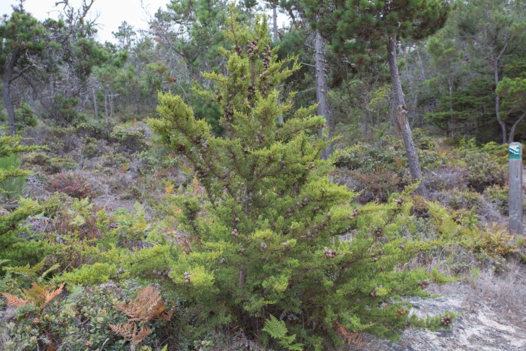
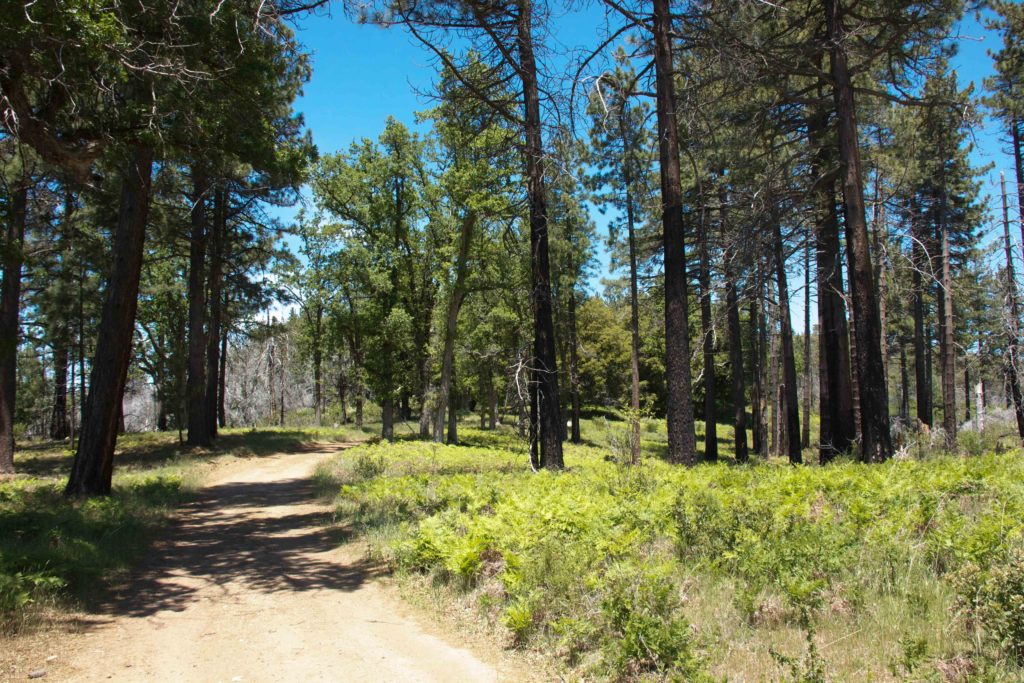
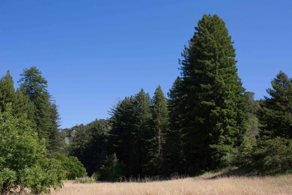
There are several distinct forms of conifer woodlands. One is Redwood Forest; redwoods reach the southern limit of their range in the Big Sur area. They are able to survive this far south because of coastal fog, which provides the equivalent of up to 10 inches of rain each year. Closed-cone conifer woodland consists of Monterey and Bishop Pines, Monterey and Gowen Cypresses, and other plants that tolerate acidic soil. Their cones open to release seeds only under intense heat, as in a forest fire. Closed-cone trees can be seen in Del Monte Forest. Yellow pine forest has Ponderosa and Coulter Pines, which need higher than average rainfall. These are is usually at higher elevations, and are more open than closed-cone conifer woodland.